Evidence-Based Planning for the Dublin Active Travel Network
The four Dublin Local Authorities, together with the National Transport Authority (NTA), are strategically developing the Dublin Active Travel Network to double the cycling modal share in the coming years, promoting safe, sustainable, and accessible urban mobility across the region.
As part of this effort, Lane Patrol is applying its CycleRAP-based analysis in alignment with the Cycle Design Manual (CDM) developed by the NTA. In parallel, a new simulator tool is being developed to help urban planners visualise how infrastructure design impacts cycling safety, using risk data derived from CycleRAP.
- Challenges: Dublin to double the cycling modal share through safer infrastructure
- Use cases: Assessment of the current infrastructure; Before/After benchmarking in specific segments and areas; Visualisation tool.
The project
Following an initial pilot assessment of 9 km in Dublin City and 10 km in South Dublin, the next phase will expand to approximately 18 km of additional infrastructure, as well as a potential 13 km in Dún Laoghaire-Rathdown, where imagery has already been collected using the Lane Patrol mobile app.

The methodology
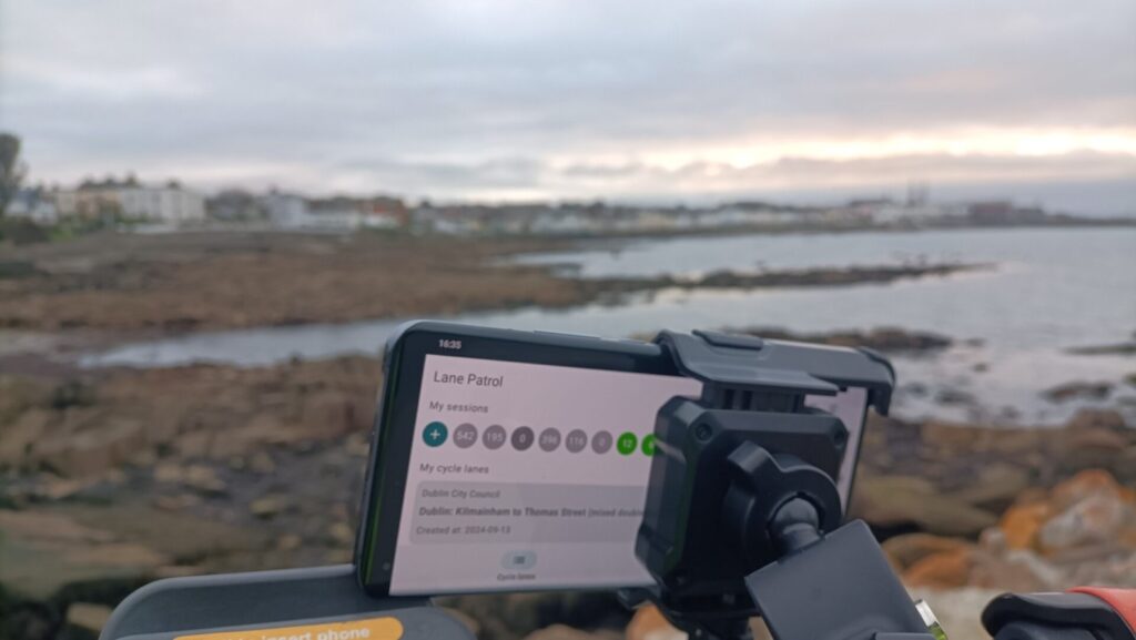
The methodology involves comparing the before-and-after conditions of cycling infrastructure. The Lane Patrol app captures high-resolution, geo-referenced imagery every 10 metres, enabling the analysis of 40+ infrastructure attributes to generate risk ratings and highlight key safety concerns, fully aligned with the CycleRAP methodology.
This work strengthens data-driven planning and investment decisions, giving Dublin’s Local Authorities a clearer understanding of how infrastructure upgrades impact cyclist safety and comfort, two essential factors to boost active mobility uptake.
The project is being delivered in collaboration with Smart Dublin, Dublin City Council (DCC), South Dublin County Council (SDCC), Dún Laoghaire-Rathdown County Council (DLR), and Fingal County Council (FCC).